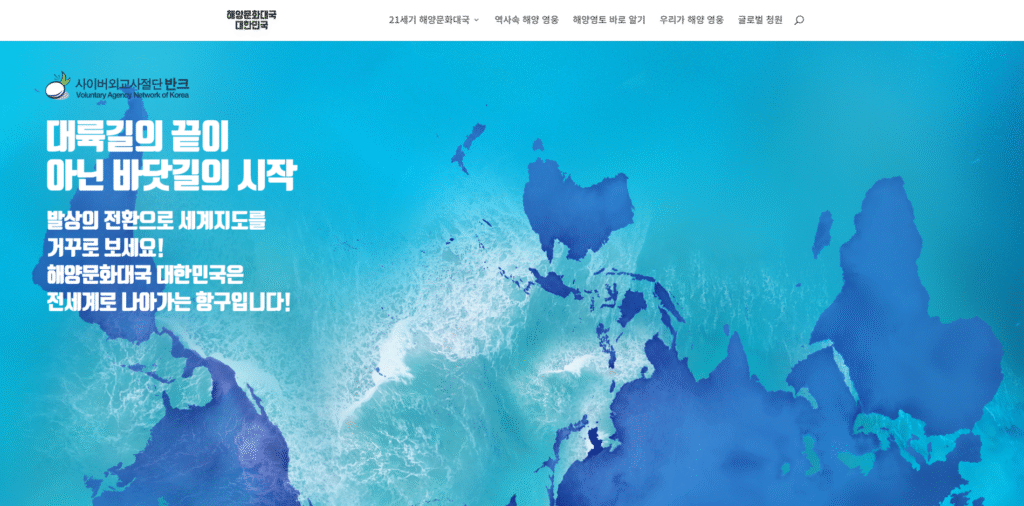
The Voluntary Agency Network of Korea (VANK) has launched a new website dedicated to showcasing Korea as a maritime cultural powerhouse. The initiative aims to educate elementary, middle, and high school students across the country about Korea’s maritime territory while also raising global awareness of the nation’s maritime sovereignty.
The website was developed to emphasize the importance of maritime territory in the 21st century, particularly fostering a pioneering and proactive spirit toward maritime exploration among Korean youth.
Through this platform, VANK has introduced various educational programs designed to instill a deeper understanding of maritime issues. These initiatives aim to inspire young people to view the ocean not as a realm of indifference or fear, but as a space for challenge and opportunity, fostering a “pro-maritime” mindset.
🌊 Maritime Cultural Powerhouse Korea
🔗 http://ocean.prkorea.com
📜 Article 3 of the South Korean Constitution states:
“The territory of the Republic of Korea shall consist of the Korean Peninsula and its adjacent islands.”
VANK advocates for an amendment to this clause, arguing that Korea’s maritime territory should be explicitly recognized by stating: “The territory of the Republic of Korea shall consist of the Korean Peninsula, its adjacent islands, and its maritime territory.”
A review of country maps featured on the U.S. Central Intelligence Agency (CIA) World Factbook reveals a concerning discrepancy: Korea’s maritime territory is significantly reduced in comparison to Japan and China.
While Japan’s map includes an expansive maritime area, Korea’s is notably limited, with Dokdo and the East Sea incorrectly labeled. The CIA map refers to the East Sea as the “Sea of Japan” and presents Dokdo as “Dokdo/Takeshima,” echoing Japan’s territorial claims.
Unlike Korea’s map, which only marks the boundary up to Dokdo, maps of Japan and China include extensive maritime zones. This raises serious questions about the reasoning behind the CIA’s cartographic decisions.
Located in the East Sea, An Yong-bok Seamount is part of Korea’s maritime territory, just like Dokdo.
If an artificial island were to be constructed on Anyongbok Seamount, it could mark the beginning of a new era for Korea as a true maritime power.
The world remains largely unaware of Korea’s maritime territories, including Dokdo and the East Sea, primarily due to the lack of global advocacy and engagement from Koreans themselves. Even domestically, public awareness of Korea’s maritime sovereignty remains limited, leading to a gradual erosion of global recognition.
To address this, VANK has launched this website to enhance public awareness of Korea’s maritime territory.
Through this platform, VANK aims to inspire Korean youth to embrace the boundless potential of Korea as a maritime powerhouse and encourage them to take concrete action to safeguard the nation’s maritime sovereignty.